Iowa Civil War Monuments
Davis County
Bloomfield - Davis County Raid - GPS Coordinates: 40.677500 by -92.427300
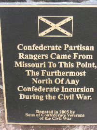
On October 12, 1864, a band of Confederate guerillas or bushwhackers, dressed in Federal uniforms, crossed into Iowa and engaged in murder and robbery in Davis County. This was the northern most Confederate incursion in Federal territory in the war. It consists of three boulders with plaques from the Sons of Union Veterans and the Sons of Confederate Veterans. It is directly south of Bloomfield on Lilac Avenue, 4 miles south of Highway 2. The first photo was taken 9/25/18 - the others 10/13/07.


Bloomfield - General James Weaver Home, Plaque and Freedom Rock - GPS Coordinates: 40.755433 by -92.413450
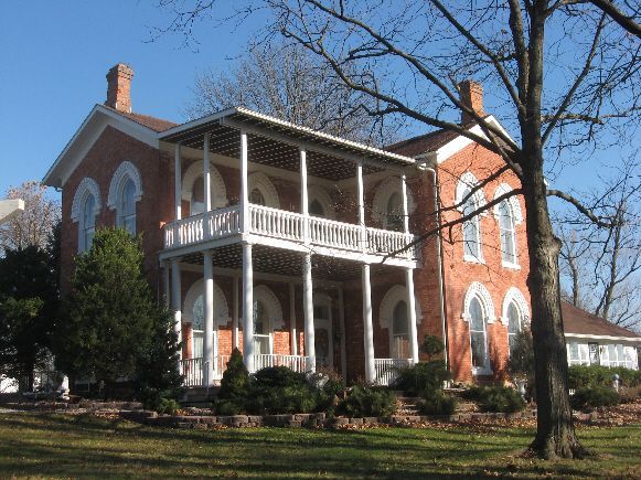
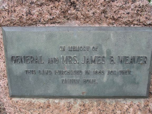
James Weaver enlisted in the 2nd Iowa Infantry Regiment as a Private and eventually became a Colonel and commanded the regiment. Later he became a brevet Brigadier General. After the war, he was active in Iowa politics and twice ran unsuccessfully for President as the nominee for the Greenback Party in 1880 and the Populist Party in 1892. Today the impressive Weaver home is a bread and breakfast. There is also a plaque in a small park directly across the street from the home - the GPS reading is set on the plaque. The plaque and home are on Highway 63 in the north part of Bloomfield. Photos taken 11/26/08 and 9/25/18. In 2016 a Freedom Rock was painted by Ray "Bubba" Sorensen that features General Weaver on the west side of the Rock. It is located on Main Street in Drakesville, just a few miles NW of Bloomfield. This photo taken 8/21/20.
General Weaver is buried in Woodland Cemetery in Des Moines. See "Civil War Generals Woodland Cemetery" in Polk County.


Troy - Veterans Memorial - GPS Coordinates: 40.747166 by -92.202133
This memorial has plaques honoring veterans from all wars including the Civil War. The brick background appears to be part of the structure of Troy High School which no longer exists. Troy is a small town east of Bloomfield on county road J40. The memorial is in the town park just south of the only intersection. The first photo was taken 10/13/07 - the second one 9/25/18.

