Iowa Civil War Monuments
Keokuk County
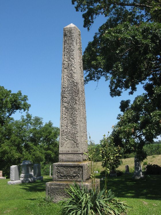
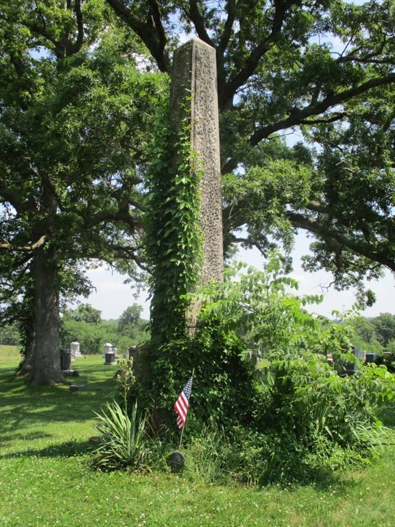
Richland - Civil War Monument GPS Coordinates: 41.195066 by -91.999166
This monument is about 16 feet high. It is located NW of Richland. This town has three cemeteries in same location - Friends, Highland and Old Methodist. Take Richland Street north past Friends Cemetery to Highland Cemetery. The first two photos were taken 8/2/08 - the final photo taken 7/8/20 shows, unfortunately, that vegetation growth has covered the inscriptions on the front of the monument.


Sigourney - Civil War Monument in Cemetery GPS Coordinates: 41.340800 by -92.220133
This monument is close to several CW Veteran tombstones in Pleasant Grove Cemetery (also called West Cemetery.) It is a 2 by 4 foot gray granite memorial with inscriptions on both the east and west sides. Old photos show a much larger memorial but it became dilapidated and was replaced with this one in 1983. This cemetery is on the west side of town – just north of Highway 92. It was difficult to find the monument in the cemetery – driving on the main road through the cemetery – take the next-to-last side road west to locate it. The first photo was taken 11/29/07 - the others 7/8/20.


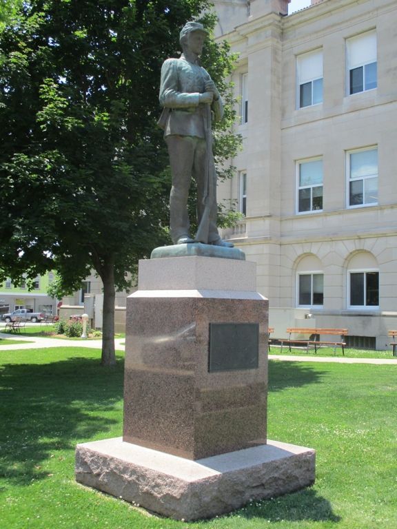
Sigourney - Civil War Soldier at Courthouse GPS Coordinates: 41.333383 by -92.204116
This is an attractive monument with a 7 foot base of red St. Cloud granite and a 6 foot bronze soldier. According to a newspaper account, it was to be dedicated on July 4, 1929, with a grand celebration including a parade, bands, speeches and the attendance of 13 CW vets. There was a problem – the bronze soldier did not arrive on time. Apparently the celebration went on as scheduled and the soldier had to be attached at a later date. There is a small inscription on the statue indicating it was manufactured by the American Art Bronze Foundry in Chicago. The monument is in the Courthouse Square in Sigourney. Photos taken 7/8/20.


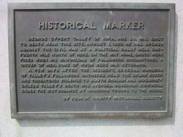
South English - Talley/Skunk River War Plaque GPS Coordinates: 41.453333 by -92.084444
On August 1, 1863, there was a meeting of the Peace Democrats, called Copperheads, on the outskirts of South English. After the meeting, many drove wagons through town where they were confronted by Union supporters. Both sides were armed and shots were fired. Rev. George Talley, the leader of the Peace Democrats, was shot and killed. It was unclear who fired the first shot and who fired the shot that killed Talley. It was said that hundreds of Peace Democrats begin gathering to avenge Talley's death. Iowa Gov. Kirkwood led troops here and the situation eventually calmed down without further violence. This was called the Talley War or Skunk River War and received much publicity throughout the country.
This plaque was placed near the spot of Talley's death. It is located on Main Street/Highway 22 on the northeast side of town. Thank you to Librarian Barb Spicer for information and directions. Photos taken 8/24/13.


What Cheer - Keokuk County Freedom Rock - GPS Coordinates: 41.401291 by -92.354827
The front of the Freedom Rock is dedicated to the Grand Army of the Republic or GAR. This was a fraternal organization that many Civil War Veterans joined after the war. The painting symbolizes a man both as a young soldier and as an aged member of the GAR. The Humes GAR Post Number 144 was active from 1883 through 1925. The undated photo shows members of the Humes Post. The final photo on the west side of the Rock honors Veterans of more recent wars.The Freedom Rock is located next to the impressive Opera House in What Cheer. It was painted by Ray "Bubba" Sorensen. Photos taken 9/2/21.


